in Coventry
by Keepmoat Homes
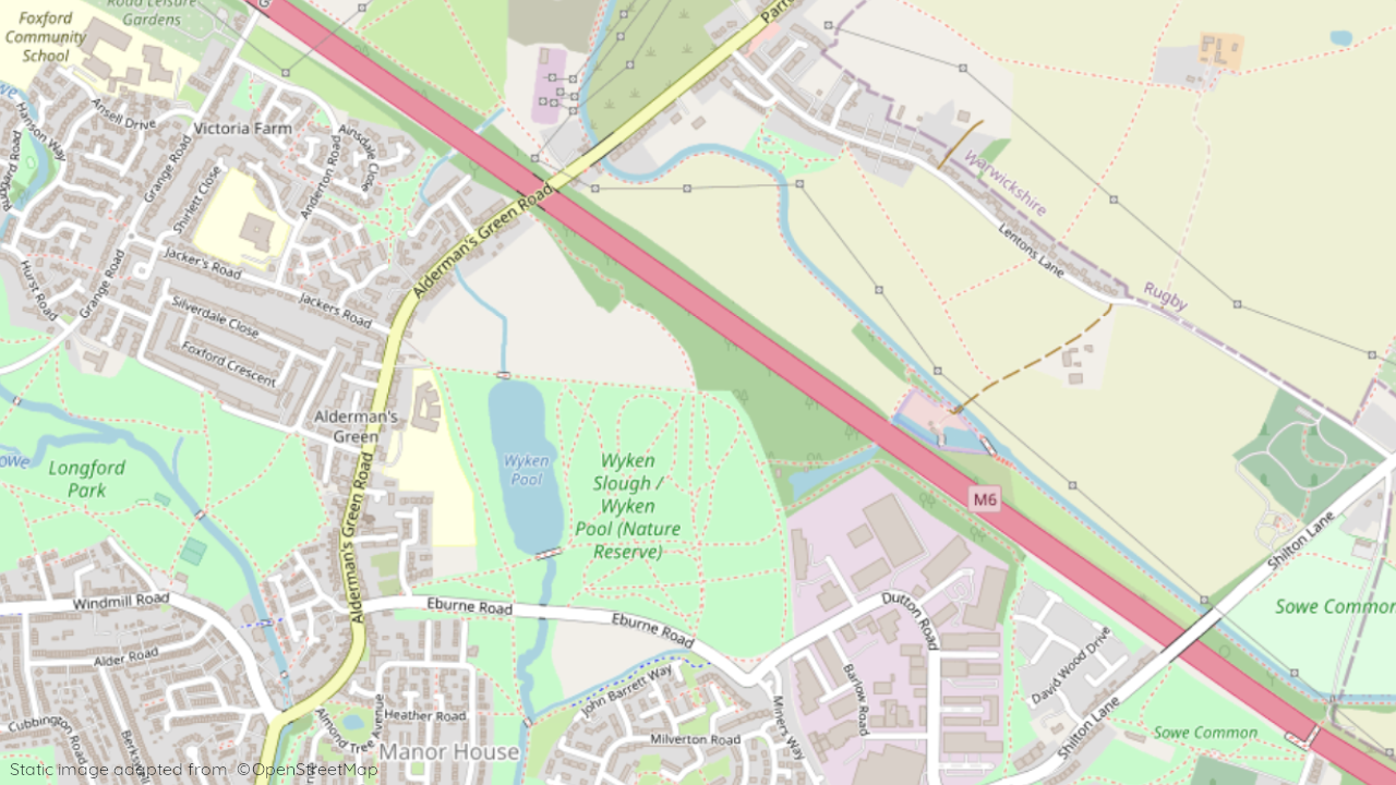
Alderman’s Green, Wood End, Milverton Road, Coventry, CV2 1GG
View on Keepmoat Homes website
Other showhomes in this area
More about CV2 1GG
CV2 1GG is a postcode located in the Henley ward of Coventry, England. Here’s a breakdown of the area:
Location: Ashorne Close, a residential area situated within the wider CV2 postcode district. Coventry is a mid-sized city with a population of around 320,000, located in the West Midlands region.
Character: Primarily residential, consisting of a mix of terraced houses and bungalows along with some low-rise apartment buildings. Several small businesses and community facilities are also scattered throughout the area.
Amenities: Several convenience stores, takeaways, and a community centre are available within walking distance. However, for major supermarkets, wider shopping options, and leisure facilities, residents typically head to the city centre which is about a 2-mile drive away.
Transport: Well-served by local bus routes connecting to Coventry city centre and surrounding areas. The nearest railway station is Coventry Station, offering regional and national connections. The M6 motorway is easily accessible via the A46, providing good road links to other major cities.
Schools: Primary and secondary schools are located within the wider CV2 postcode district, offering various options for families.
Things to do: Coventry boasts a rich history and vibrant culture, with notable attractions including Coventry Cathedral, the Herbert Art Gallery & Museum, and the Coventry Transport Museum. Plenty of parks, green spaces, and recreational facilities are also available within the city and surrounding areas.
In a nutshell: CV2 1GG offers a convenient and community-oriented living environment for residents, with easy access to amenities and good transport links to the city centre and beyond. While primarily residential, the area benefits from the diverse offerings and cultural richness of Coventry on its doorstep.
| Category | Info |
|---|---|
| Postcode | CV2 1GG |
| Town | Coventry |
| County | West Midlands |
| Latitude | 52.0388 |
| Longitude | -0.8162 |
| Altitude | 94 meters |
| Nearest Train Station | Coventry Railway Station |
| Nearest Bus Stop | Wood End |
| Administrative Areas | Coventry City Council |
| Distance from Sea | 73.2 miles (Irish Sea) |
| Index of Multiple Deprivation (IMD) | 3 |
| Average Household Income | £28,000 |
| Water Company | Severn Trent Water |