in Ince
by Barratt Homes
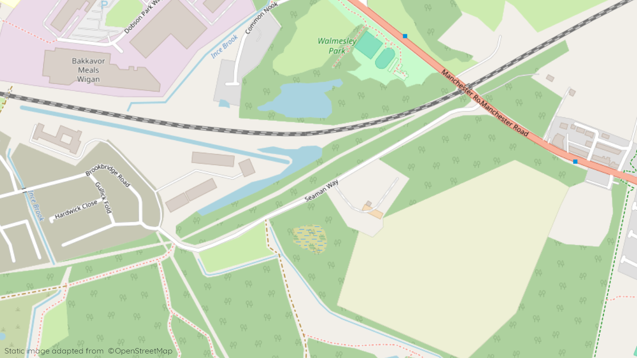
Seamen Way, Ince, Wigan, WN2 2LE
View on Barratt Homes website
Other showhomes in this area
More about WN2 2LE
Located in the town of Ince-in-Makerfield, WN2 2LE is primarily an industrial area with limited residential presence.
Location: This postcode encompasses areas like Seaman Way, situated within an established industrial zone. The area borders other industrial sites and offers limited residential options. Wigan town centre is a short drive away, providing a wider range of amenities.
Industry: The area features a significant presence of industrial units and businesses, catering to various sectors like manufacturing and logistics.
Housing: Residential options were previously extremely limited, with a few scattered properties interspersed among the industrial units.
Amenities: Immediate options are limited due to the industrial focus. Residents may rely on the nearby town of Ince-in-Makerfield or Wigan for a wider range of shops, supermarkets, cafes, restaurants, and leisure facilities.
Transport: Access to the M6 motorway provides good connections to other major cities. Local bus services connect to Wigan and surrounding areas.
Schools: Several well-regarded schools serve the wider Wigan area, including Ince Park Primary School and Wigan Athletic College.
Things to do:
Explore the nearby town of Wigan, offering a mix of historical sites, shopping centres, and leisure facilities.
Visit the Wigan Pier Quarter, a cultural hub with museums, galleries, and independent shops.
Enjoy outdoor activities at Pennington Flash Country Park, a local nature reserve offering walking and cycling trails.
In a nutshell: WN2 2LE is primarily an industrial area with limited residential options. While amenities are scarce in the immediate vicinity, Wigan town centre offers a wider range of services. The area benefits from good transport links and proximity to the M6 motorway.
| Category | Value |
|---|---|
| Postcode | WN2 2LE |
| Town | Wigan |
| County | Greater Manchester |
| Latitude | 53.536442 |
| Longitude | -2.606745 |
| Altitude | 42m |
| Nearest Train Station | Ince (Manchester) |
| Nearest Bus Stop | Pinewood Crescent (NE), Amar Street (SW) |
| Administrative Areas | Wigan Metropolitan Borough Council |
| Distance from Sea | 25.4 km |
| Index of Multiple Deprivation (IMD) | 9,414 out of 32,844 |
| Average Household Income | £37,200 |
| Water Company | United Utilities |