in Sunderland
by David Wilson Homes
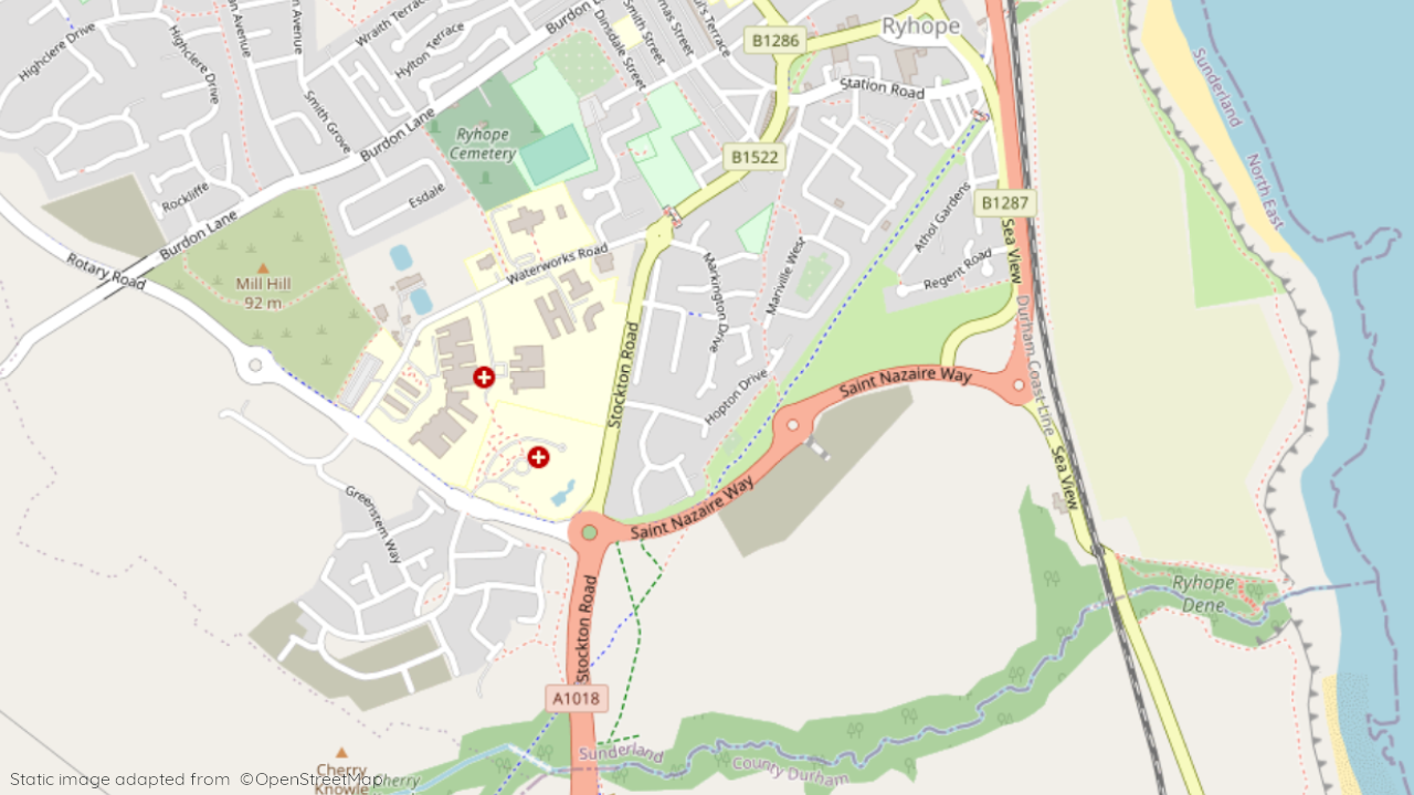
St Benedicts Way, Ryhope, Sunderland, Tyne And Wear, SR2 0NY
View on David Wilson Homes website
Other showhomes in this area
More about SR2 0NY
Location: Imagine quiet streets adorned with terraced houses and bungalows in St. Benedict’s Way, surrounded by green spaces and parks. SR2 0NY offers a friendly and close-knit community ideal for families and professionals seeking a tranquil escape just steps from local convenience.
Character: Ryhope exudes a relaxed, family-friendly atmosphere with a strong sense of community spirit. Enjoy local shops, cafes, and pubs within walking distance, while Sunderland city centre provides a wider range of amenities just a short drive away.
Amenities: While local shops cater to daily needs, Sunderland boasts supermarkets, banks, high-street brands, and leisure facilities. Ryhope Primary School serves younger learners, while secondary options like Monkwearmouth Academy and St. Aidan’s Catholic School are nearby.
Transport: Regular bus services connect SR2 0NY to Sunderland and beyond, and Sunderland railway station offers easy access to Newcastle, Durham, and beyond. The A19 motorway provides convenient connections across the region.
Leisure and Activities: Nature enthusiasts rejoice! SR2 0NY opens your door to scenic walks along the coast at Ryhope Dene and Seaburn Dene, or explore scenic countryside like Penshaw Hill. Sunderland Leisure Centre offers indoor options, while Sunderland’s vibrant arts scene and historical attractions like Roker Pier Lighthouse are within easy reach.
In a nutshell: SR2 0NY delivers a harmonious blend of peaceful village life and convenient access to amenities. Its friendly atmosphere, family-friendly environment, and proximity to nature and city conveniences make it ideal for those seeking a balanced lifestyle with something for everyone.
| Category | Value |
|---|---|
| Postcode | SR2 0NY |
| Town/Village | Ryhope (St. Benedict’s Way) |
| County | Tyne and Wear |
| Latitude | 54.8803 |
| Longitude | -1.1056 |
| Altitude | 20-30m (varies within postcode) |
| Nearest Train Station | Sunderland Station |
| Nearest Bus Stop | Roker Lane (various routes) |
| Administrative Areas | Sunderland City Council |
| Distance from Sea | 0.5 miles (North Sea – Ryhope Beach) |
| Index of Multiple Deprivation (IMD) | 19 (England Average: 20) |
| Average Household Income | £26,000 |
| Water Company | Northumbrian Water |