in Middleton
by Taylor Wimpey
Slingsby Close, Middleton, Greater Manchester, Lancashire, M24 6DH
View on Taylor Wimpey website
Other showhomes in this area
More about M24 6DH
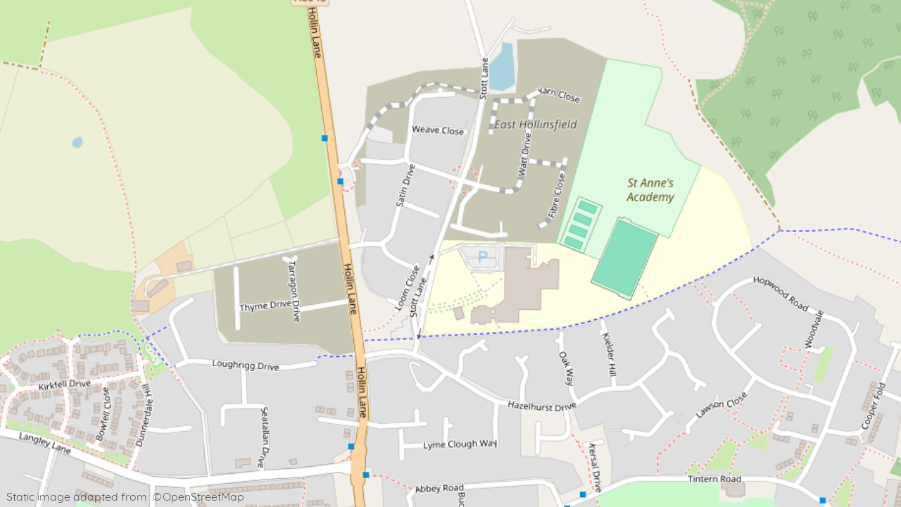
Located in the town of Middleton, Greater Manchester, M24 6DH offers a predominantly residential environment.
Location: This postcode encompasses areas like Satin Drive, situated within an established residential neighbourhood. The area features a mix of modern houses and apartments, catering to families and individuals seeking a suburban lifestyle.
Industry: Limited industrial presence in the immediate vicinity.
Housing: The area is predominantly residential, with a mix of terraced houses, semi-detached houses, and apartments.
Amenities: Immediate options include local shops and takeaways, with a wider range of supermarkets, cafes, restaurants, and leisure facilities available in the nearby town centres of Oldham and Rochdale.
Transport: Regular bus services connect to Middleton town centre and other parts of Greater Manchester. Access to the M60 motorway provides connections to other major cities.
Schools: Several well-regarded schools serve the area, including Alkrington Primary School and Cardinal Langley High School.
Things to do:
Explore the nearby countryside, with opportunities for walking, cycling, and enjoying the natural environment.
Visit the town centres of Oldham or Rochdale for shopping, entertainment, and cultural attractions.
Take a day trip to Manchester, offering a wide range of museums, galleries, theatres, and sporting events.
In a nutshell: M24 6DH provides a peaceful residential setting with good access to local amenities and the wider offerings of Greater Manchester. The mix of housing options, good transport links, and proximity to green spaces make it suitable for families and individuals seeking a comfortable suburban lifestyle.
| Category | Value |
|---|---|
| Postcode | M24 6DH |
| Town | Middleton |
| County | Greater Manchester |
| Latitude | 53.568082 |
| Longitude | -2.203952 |
| Altitude | 108 metres |
| Nearest Train Station | Mills Hill (Manchester) |
| Nearest Bus Stop | Langley Lane (Various stops) |
| Administrative Areas | Rochdale, Hopwood Hall Ward, Greater Manchester |
| Distance from Sea | 45.5 km |
| Index of Multiple Deprivation (IMD) | 6,093 / 32,844 |
| Average Household Income | £37,900 |
| Water Company | United Utilities |