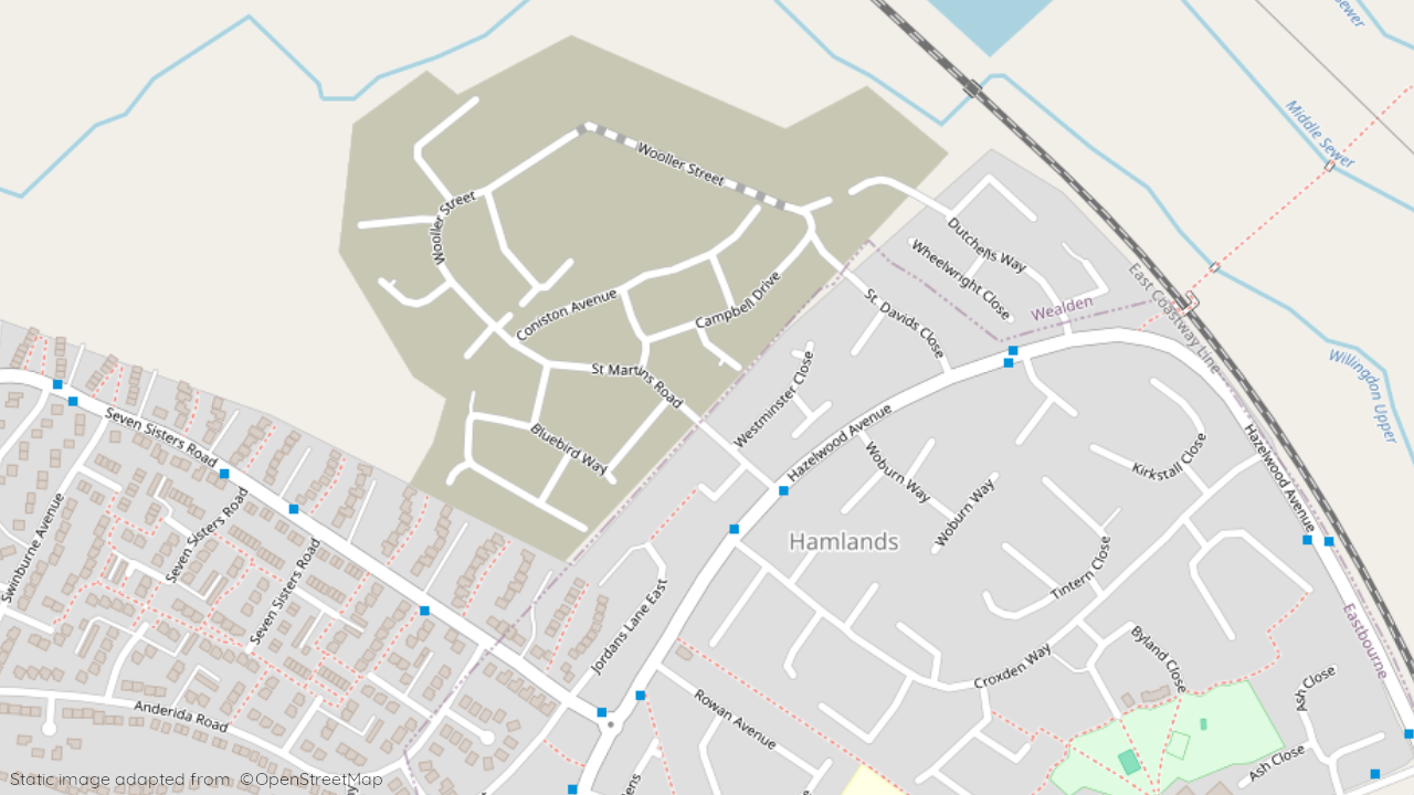
in Eastbourne
by Barratt Homes
St Martins Road, Eastbourne, East Sussex, BN22 0LG
View on Barratt Homes website
Other showhomes in this area
More about BN22 0LG
Situated within Eastbourne, BN22 0LG offers a mix of industrial activity and some residential streets, bordering established industrial estates and leading towards the town centre.
- Location: This postcode encompasses areas like Huggetts Lane and The Close, bordering established industrial estates and leading towards Eastbourne town centre.
- Industry: The area features a significant presence of industrial units and businesses, catering to various sectors like logistics and manufacturing.
- Housing: Residential options are limited, with a mix of terraced houses and bungalows catering to individuals and families seeking affordable housing near employment opportunities.
- Amenities: While immediate choices may be limited due to the industrial focus, Eastbourne town centre offers a range of shops, supermarkets, cafes, restaurants, and leisure facilities.
- Transport: Easy access to the A22 road facilitates road travel. Regular bus services connect to Eastbourne and surrounding areas. Eastbourne railway station provides connections to major cities.
- Schools: Several well-regarded schools serve the wider Eastbourne area, including Eastbourne College and Ratton School for secondary education.
- Things to do: Explore the nearby beaches and South Downs National Park for walking, cycling, and outdoor activities. Eastbourne town centre offers historical sites, theatres, and a vibrant leisure scene.
In a nutshell: BN22 0LG caters to those seeking affordable housing near job opportunities in the surrounding industrial areas. While immediate amenities are limited, Eastbourne town centre offers a wider range of options. The area also benefits from good transport links and proximity to the South Downs National Park.
| Category | Value |
|---|---|
| Postcode | BN22 0LG |
| Town | Eastbourne |
| County | East Sussex |
| Latitude | 50.8094° N |
| Longitude | 0.2639° E |
| Altitude | 12m |
| Nearest Train Station | Hampden Park (Sussex) Railway Station |
| Nearest Bus Stops | St Martins Road (SW), Rowan Avenue (SW), Jordans Lane (E), Anderida Road (NW), Larch Gardens (N), Seven Sisters Road (SE) |
| Administrative Areas | Willingdon and Jevington Parish, Upper Willingdon Ward, Wealden Constituency |
| Distance from Sea | 3.1m from the English Channel |
| Index of Multiple Deprivation (IMD) | BN22 0LG |
| Average Household Income | £42,500 |
| Water Company | South East Water |

